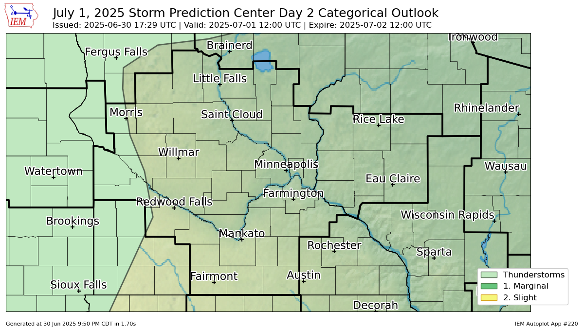
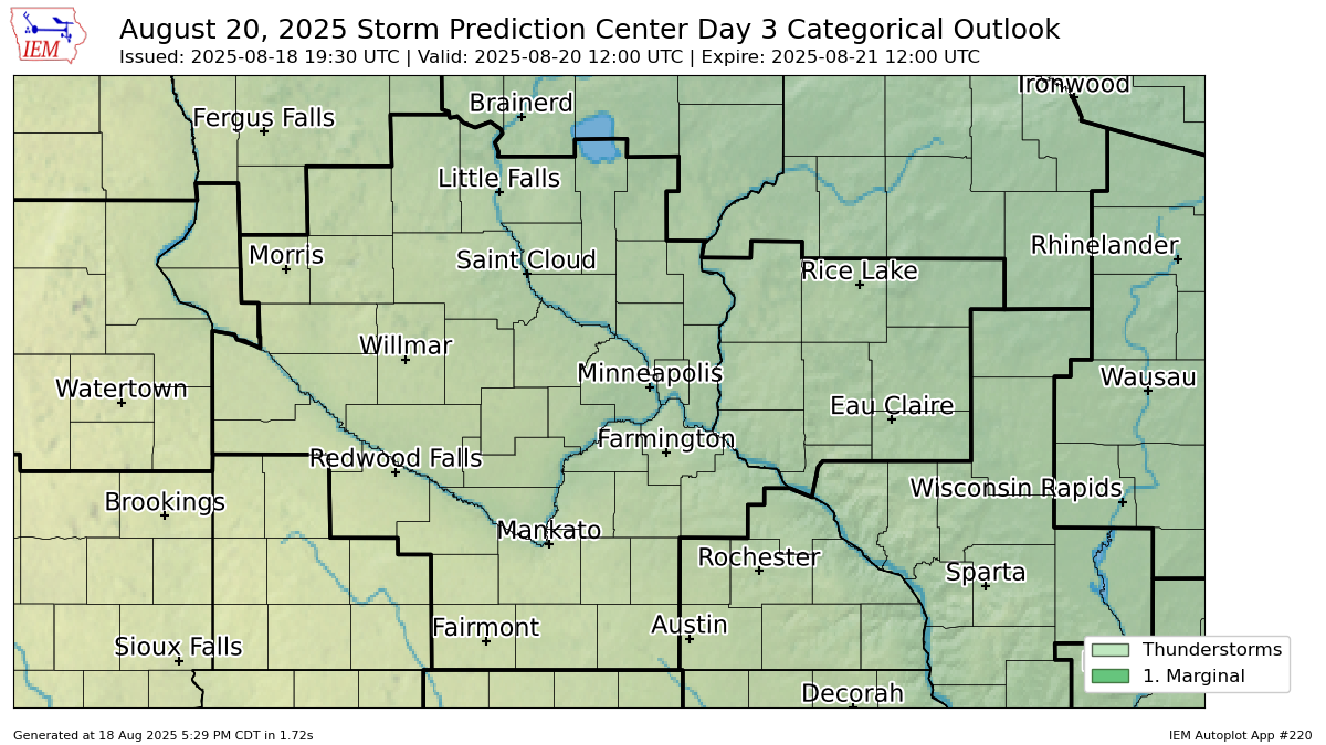
The categorical forecast specifies the level of the overall severe weather threat via numbers (e.g., 5), descriptive labeling (e.g., HIGH), and colors (e.g., magenta). The probabilistic forecast directly expresses the best estimate of a severe weather event occurring within 25 miles of a point. See full forecast
Convective Outlook Issuance Times (approximately)
- Day 1 Convective Outlook – 0600Z, 1300Z, 1630Z, 2000Z, and 0100Z
- Day 2 Convective Outlook – 100 AM (CST and CDT) and 1730Z
- Day 3 Convective Outlook – 230 AM (CST and CDT)
- Day 4-8 convective outlooks around 0800Z (3:00 AM CDT)
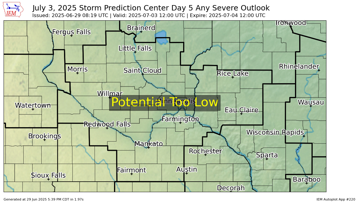
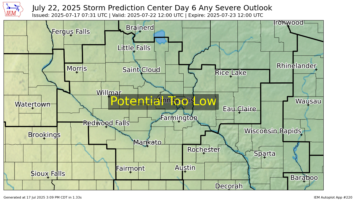
Images generated via Iowa State University
View Details (Summary Below)
Categorical Day 1

Categorical Day 2
Categorical Day 3
Categorical Days 4
Note: A severe weather area depicted in the Day 4-8 period indicates 15%, 30% or higher probability for severe thunderstorms within 25 miles of any point.

Day 5
Day 6
Day 7

Day 8
