SPC issues Day 1, Day 2, and Day 3 Convective Outlooks that depict non-severe thunderstorm areas and severe thunderstorm threats across the contiguous United States, along with a text narrative. The categorical forecast specifies the level of the overall severe weather threat via numbers (e.g., 5), descriptive labeling (e.g., HIGH), and colors (e.g., magenta). The probabilistic forecast directly expresses the best estimate of a severe weather event occurring within 25 miles of a point. The text narrative begins with a listing of severe thunderstorm risk areas by state and/or geographic region. This is followed by a concise, plain-language summary of the type(s) of threat along with timing that is focused on the highest-risk areas. The rest of the outlook text is written in scientific language for sophisticated users. This technical discussion usually includes a synopsis section to provide a general overview of the weather pattern, emphasizing features that will influence the severe and general thunderstorm threats. Additional sections of the discussion are usually separated by geographic areas. Within these individual geographic areas, the text offers meteorological reasoning and justification for the type of coverage and intensity attendant to the severe weather threat.
Day 3 Convective Outlook – 230 AM (CST and CDT)
Images generated via Iowa State University
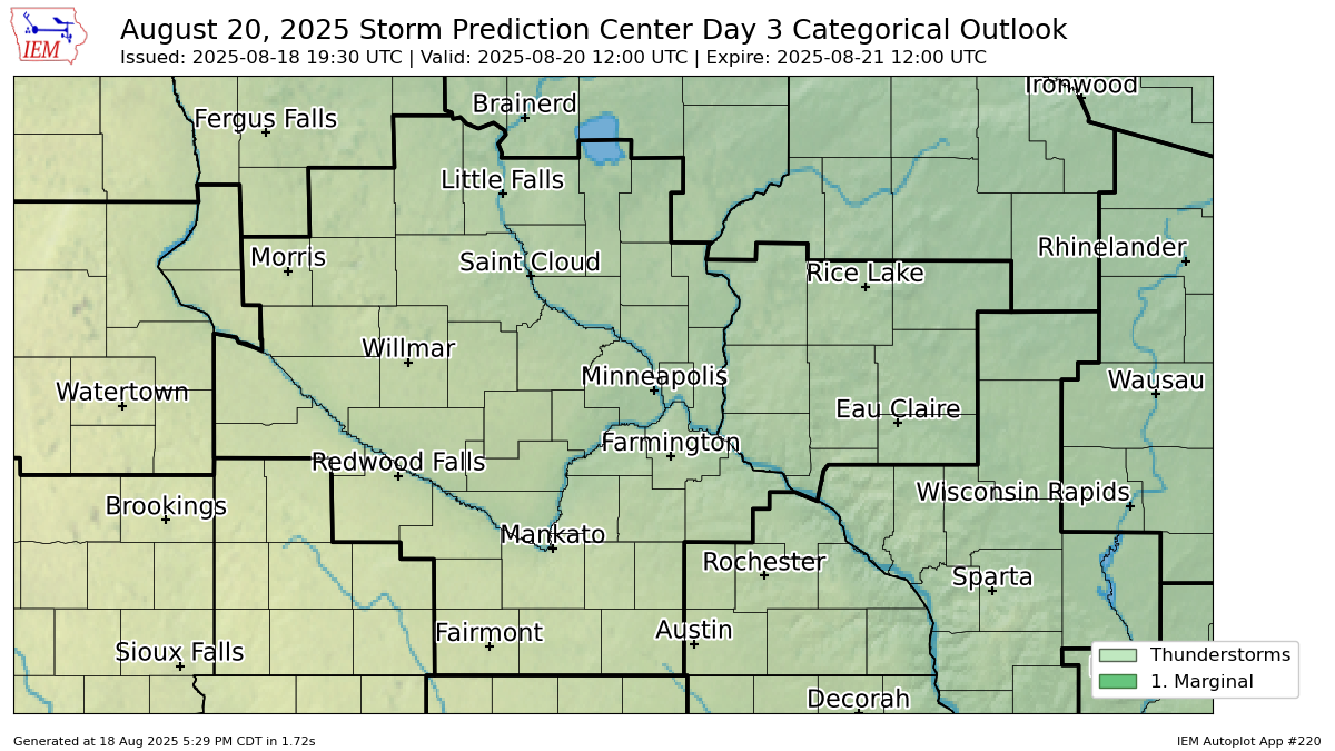
Categorical Outlook
Hail Outlook

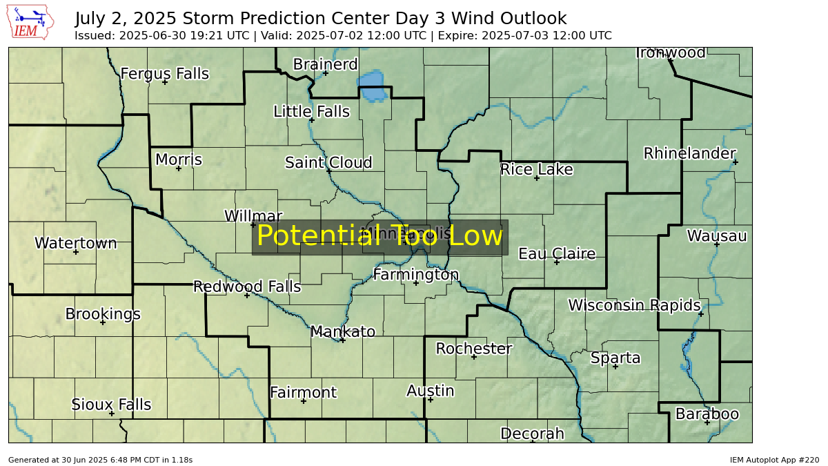
Wind Outlook
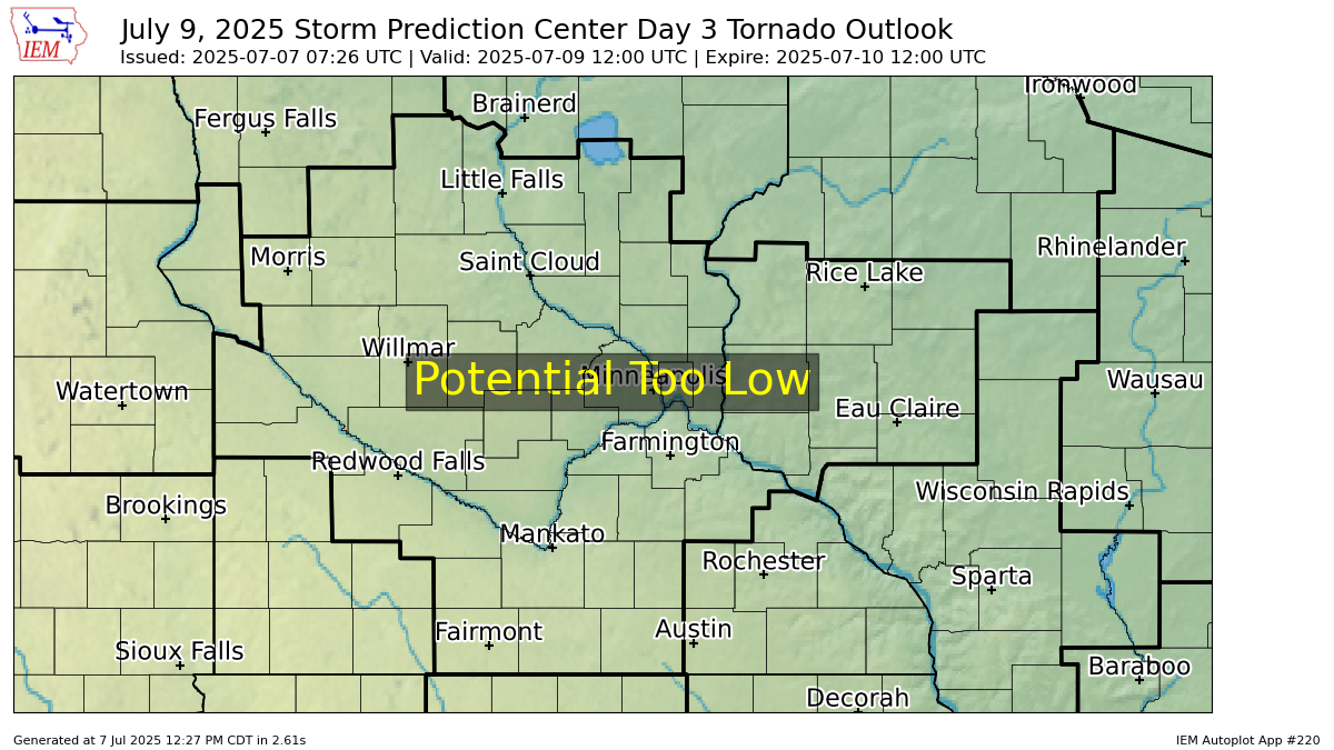
Tornado Outlook